Br
Menu
English
Arabic
Brazil
French
German
Italian
Russian
Simplified China
Traditional China
Spanish
Turkey
India
Vietnam
Japanese
Korean
sobre o app
Contatos
Br
English
Arabic
Brazil
French
German
Italian
Russian
Simplified China
Traditional China
Spanish
Turkey
India
Vietnam
Japanese
Korean
This section is not available yet
Início
Mapas
South Korea
Im-dong
Divisões
Melhores locais
Entretenimento
Estádio
Atrações
Negócios
Hospedagem
Comércio
Supermercado
Saúde
Dentista
Hospital
Veterinário
Alimentação
Educação
Escola
Transporte
Posto de gasolina
Estacionamento
Finanças
Banco
Banco
광주은행 임동지점
South Korea, GPS: 35.163055,126.89726
Dentista
Igeonung Dental Clinic
2,0
Seorim Dental Clinic
2,5
Escola
서림초등학교
South Korea, GPS: 35.16264,126.89963
Gwangjuseorim Elementary School
0,5
Estacionamento
무등야구장 주차장
South Korea, GPS: 35.169243,126.88809
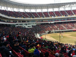
Estádio
Gwangju KIA Champions Field (광주기아챔피언스필드)
4,1
북구 서림로 10, 임동, Gwangju, 61255, South Korea, GPS: 35.168,126.88856
광주기아챔피언스필드 (Gwangju KIA Champions Field)
2,5
Hospital
효자요양병원
South Korea, GPS: 35.16374,126.89638
Hyoja Hospital
1,5
Posto de gasolina
Hyeseong Gas Station
2,0
Changseong Gas Station
2,5
Supermercado
Oto Mart
2,5
Taol Mart
2,0
Veterinário
Sin Animal Hospital
1,5
Mudeung Animal Hospital
2,0
Show on map
Show list
MAPS.ME
sempre à mão
Baixe o app e comece a expandir seus horizontes
Abrir app MAPS.ME
Usar versão web